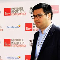
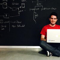
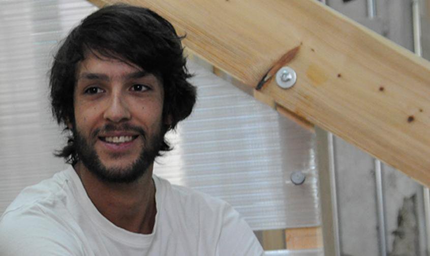
"If there are two elements, which best capture the spirit of the 21st century, as well as Sergio Álvarez's activity, they may well be the spreading of collaboration through the web, and the ever-growing importance of data. Alvarez figured it out very well when in 2009; he co-founded Vizzuality, a young technology company focusing on geo-information and map-related visualisations, of which he has been Lead Designer.
Since then, Alvarez set up and managed an impressive number of large data analysis projects, which earned him and his company important partnerships with web giants like the Guardian or Twitter. What set Álvarez apart was that he combined his visualisation skills with an extensive use of crowdsourcing, basically asking for support from unknown collaborators around the world through an online platform that he and his team set up for each project. Collaboratively reading through 650,000 pages of the ship logs of 19th-century mariners to extract information about the climate of the time (and contribute to more realistic forecasts for the future) in the Old Weather project, or analysing over 16 millions measurements of the light patterns emitted by far stars to discover new planets in the Planet Hunters project, the size of these projects literally shows that only the sky is the limit. Both projects have been launched by citizen sciences portal Zooniverse. The same principle may help historians explore soldies' diaries from the First World War, or analyse real-life cancer data. Tasks where a human brain can better.
However, maps and geo-located data are what Álvarez loves most. That is why Vizzuality has recently developed into a new company, CartoDB, still focusing on open-source, cloud-based software tools, but specifically working to transform Big Data into maps. Whereas the previous data visualisation projects were directly managed by Álvarez and his team, CartoDB is an all-round product, which can be used by anybody on a multi-level licence model: free for basic functions, or fee-based for the more advanced ones such as real-time mapping and collaborative working. As Álvarez claims it, “no prior technical knowledge is necessary to use it,” and creating a map is “as easy as a few mouse clicks.” Perhaps this is part of the reason why CartoDB received a 6-million-euro investment from German and Spanish investment funds. If Álvarez started all this out of his interest in mapping natural areas around the world, the methods he developed now find application in endless sectors. Health, Banking, Sciences, Education, Real Estate, nothing escapes the need to better interpret geo-located data, and take good decisions with them."
